
Analysist
- info@example.com
- Suite 80 Golden Street Germeney
- Monday to Saturday 8:00AM - 6:00PM
- Let’s Talk +88 80127 1410
SERVICES
CONTACT INFO
-
Our office
A-1, Envanto Headquarters,
Melbourne, Australia. -
Phone
+(00) 999 999 9999
000 000 0000 - Email info@example.com
About us
About Endless Mining Surveying
Best in UAV based
surveying & Inspections
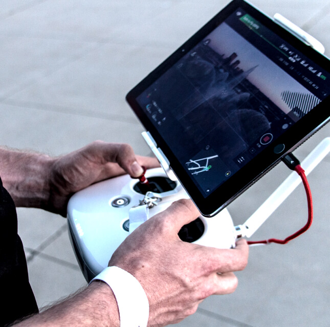
Endless Mining Surveying is a technology driven surveying and geospatial solutions company specialising in drone-based mapping, inspection, and data processing services. We combine advanced UAV systems, high-resolution sensors, and expert GIS analysis to deliver accurate, timely, and decision ready data for mining, infrastructure, energy, and land development projects across India.
- Centimeter-Level Accuracy – Advanced UAV platforms and structured data processing workflows ensuring precise and dependable results.
- End-to-End Project Support – From data acquisition to final deliverables, we provide complete technical support to enable informed decision-making

Driven by
Our Founders & Visionaries


How We Help Our Customers
-
How can drone surveying improve project accuracy?Our UAV-based surveys capture high-resolution aerial data and generate centimeter-level accurate outputs such as DTM, DSM, orthomosaics, contour maps, and volumetric reports. This ensures precise measurements for planning, monitoring, and execution.
-
How do aerial inspections reduce operational risks?Drone inspections eliminate the need for manual access to hazardous or hard-to-reach areas. We safely capture detailed visual and thermal data, helping detect defects early, prevent failures, and improve overall asset safety.
-
Can you handle large-scale or complex projects?Yes. Our advanced UAV systems, robust data processing infrastructure, and experienced GIS team allow us to manage large-area surveys and high-volume datasets efficiently without compromising accuracy or turnaround time.
-
4. How does your data support better decision-making?We deliver structured, analysis-ready outputs rather than raw imagery. Our processed geospatial data, reports, and visual insights enable clients to optimize operations, control costs, enhance safety, and make informed strategic decisions.